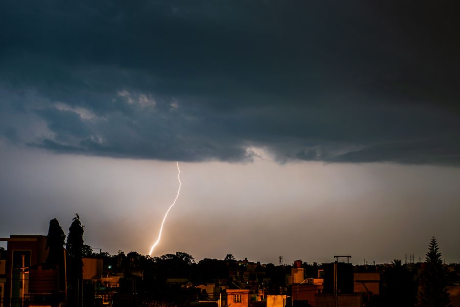
Parts of eastern Scotland are bracing for a rough evening after the Met Office issued an official thunderstorm warning running until 9pm on Wednesday.
The warning covers a stretch of the east coast and inland areas, with forecasters predicting heavy showers, lightning and the kind of downpours that can cause disruption pretty quickly if you happen to be caught out in them.
The Met Office has been keeping a close eye on the weather system moving through, and the yellow warning they have put in place is a signal that conditions could turn nasty with little notice. Heavy rainfall in a short space of time can lead to surface water building up on roads, reduced visibility for drivers, and the odd flooded garden or underpass.
Thunderstorms in Scotland can be unpredictable at the best of times. Unlike the slow, steady rain that most folk up here are well used to, these kinds of events tend to arrive fast and hit hard before moving on. That said, the intensity can vary quite a bit depending on exactly where you are, so some areas within the warning zone might get a dramatic light show while others see little more than a heavy shower.
Anyone planning to travel through the affected areas on Wednesday evening is being advised to keep an eye on the forecast and allow extra time if driving. Standing water on roads is one of the bigger risks during these events, and it can be easy to underestimate how deep it is, particularly at night.
The warning is in place until 9pm, after which conditions are expected to ease as the system moves through. Temperatures are not expected to drop dramatically overnight, but the stormy spell should clear the air ahead of the rest of the week.
It is worth checking the Met Office website or app for the latest updates if you are in eastern Scotland, as the exact track of the storm could shift the worst of the weather slightly north or south of current predictions.