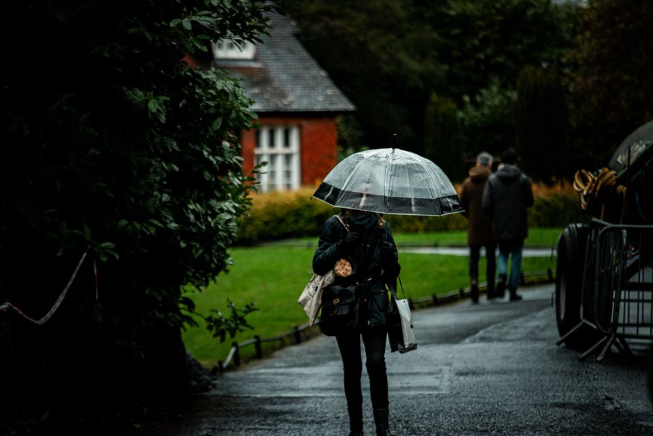
If you were hoping for a break in the miserable weather, bad news. Met Éireann is forecasting a prolonged rainy stretch that looks set to drag on well into next weekend, with little relief in sight for most of the country.
The national forecaster has described the coming days as “unsettled,” which at this point feels like an understatement. Rain, wind, and grey skies are expected to dominate across Ireland, keeping temperatures on the cooler side and making any outdoor plans a bit of a gamble.
The wet spell is being driven by a persistent area of low pressure sitting over the Atlantic, which keeps pulling bands of rain and heavy showers in off the west coast. This kind of pattern is not unusual for Ireland, but the duration of it is what is catching attention. Rather than the typical day or two of bad weather followed by a brief improvement, forecasters are pointing to a sustained period of unsettled conditions that will carry through the coming week and beyond.
Rainfall is expected to be heaviest in the west and northwest, where some areas could see significant accumulations over the period. The east and southeast may get slightly better breaks between showers, but nobody is getting off lightly here. Met Éireann has advised people to keep an eye on updated forecasts as the week progresses, since the exact timing and intensity of rainfall events can shift as the low pressure system evolves.
Winds will also be a factor, particularly along Atlantic-facing coasts. Coastal and exposed areas can expect some strong and gusty conditions at times, which combined with the rain will make it feel pretty unpleasant out there. There is no major storm system being flagged at this point, but conditions will be breezy enough to cause disruption in places.
Temperatures are going to stay fairly typical for the time of year, sitting in the mid to high single digits overnight and reaching the low to mid teens during the day in most areas. It will not be exceptionally cold, but with the wind and rain factored in, the feels-like temperature will be noticeably lower.
For farmers and those working outdoors, the extended wet period will be a concern. Ground conditions in many parts of the country are already soft after previous rainfall, and another week of persistent rain will only add to that. Flooding in low-lying areas is also worth watching, particularly in parts of the midlands and west where rivers are already running high.
Met Éireann has not yet issued any status warnings for the coming week, but forecasters have made clear that the situation will be monitored closely and alerts could be issued if rainfall totals or wind speeds reach concerning levels in specific areas.
For anyone with outdoor events or plans over the coming weekend, it is probably worth having a backup option ready. The forecast is not looking like it will offer much of a window, and banking on a dry afternoon at this stage seems overly optimistic.
The longer range outlook beyond next weekend remains uncertain, as is typical this far out. There are some tentative signals that pressure could begin to build slightly after that, which might bring drier and calmer conditions. But Met Éireann is cautious about reading too much into extended forecasts, and for now the message is simple: keep the rain jacket handy, because this wet spell is not going anywhere fast.