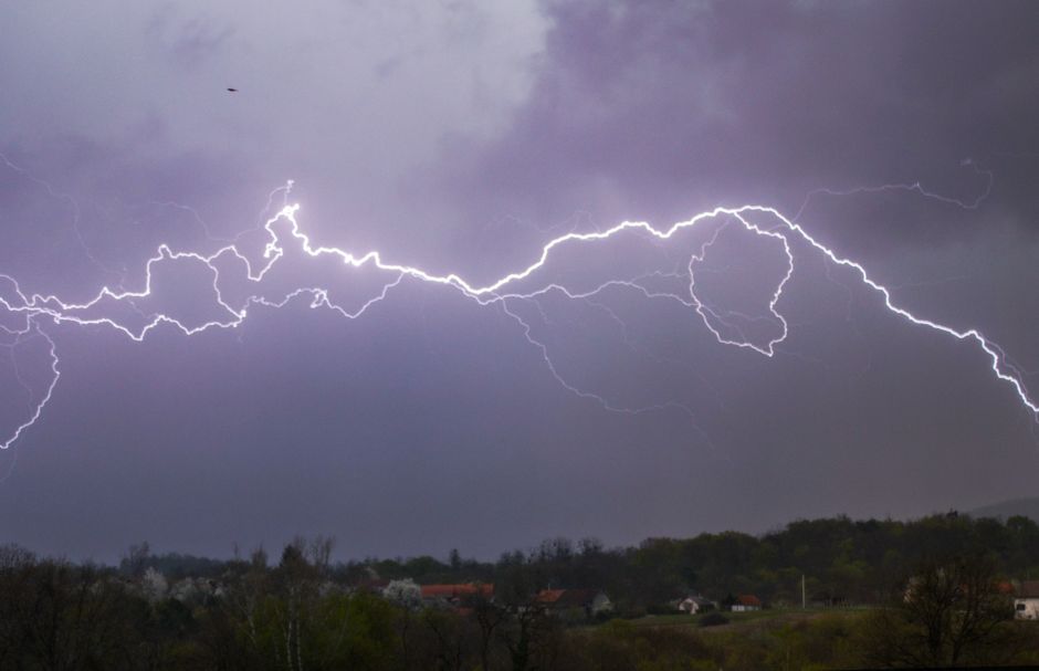
Parts of Wales are bracing for a rough Thursday as the Met Office has slapped a yellow thunderstorm warning on Gwent, with forecasters warning that flooding and power cuts could follow.
The warning covers August 27, and anyone living in or travelling through the Gwent area is being urged to keep a close eye on conditions throughout the day.
Met Office forecasters say the storms could bring a rapid burst of heavy rain in a short space of time, the kind that drains struggle to cope with and that can turn roads into rivers within minutes. Spray and surface water on roads is expected to make driving conditions dangerous, and some homes and businesses could also see water getting in if the rainfall is intense enough.
Power cuts are also on the table. Lightning strikes during thunderstorms can knock out electricity supplies with little warning, and residents are being advised to make sure any important devices are charged up ahead of the storm rolling in.
The yellow warning is the lowest tier on the Met Office scale, but that does not mean it should be ignored. Yellow warnings still signal that weather has the potential to cause real disruption to daily life, and in built-up areas like parts of Gwent, surface water flooding can cause serious problems fast.
Local residents have been advised to avoid using underpasses or low-lying roads if heavy rain hits, as these are the spots most likely to flood quickly. Drivers are also being warned not to attempt to drive through standing water, a reminder that comes after countless incidents across Wales where vehicles have become stranded in floodwater that looked shallower than it was.
For those with outdoor plans on Thursday, it is worth checking the forecast regularly as the timing and exact track of thunderstorms can shift. What might start as a dry morning could deteriorate quickly once the storms get going.
Gwent covers a wide area of south-east Wales, taking in communities from Blaenau Gwent down through Caerphilly, Monmouthshire, Newport and Torfaen. Anyone across these areas should stay updated through the Met Office website or app as Thursday approaches.
The warning serves as a reminder that even in late August, Welsh weather can turn quickly. After what has been a mixed summer across the country, another bout of unsettled conditions is not exactly a surprise, but the potential for flooding and infrastructure disruption means it is worth taking seriously.